Arizona news

Dutton's Atlas Symposium: Register Now
Join us for an engaging, entirely free and open-to-the-public symposium event offering insightful, thought-provoking presentations on the various historical-geographical and socio-cultural dimensions ...

Map of the Month: September 2022
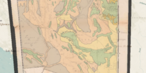
Our September Map of the Month is this mid-1800s map exploring the feasibility of constructing a trans-continental railroad route through Arizona. The full title is “Explorations and Surveys for a Rai...

New Web App: Western North America Vegetation and Locust Map
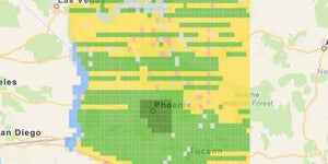
Our latest web app, Western North America Vegetation and Locust Map, is now live and available to the public. ...

Williams-Grand Canyon News: Dutton’s Atlas: How cartography helped Grand Canyon become grand
View the full Williams-Grand Canyon News article, Dutton’s Atlas: How cartography helped Grand Canyon become grand, written by Joe Giddens, and published on October 12, 2021, at the following URL: htt...

ASU News: How cartography helped the Grand Canyon become grand
View the full ASU News Article, How cartography helped the Grand Canyon become grand, written by Lauren Whitby, and published on September 28, 2021, at the following URL: https://news.asu.edu/20210928...

Map of the Month: June 2021
Our June Map of the Month is this 1844 Plan de l'embouchure du Rio Colorado dans la Mer Vermeille (English title: Plan from the Mouth of Rio Colorado in the Ruddy Sea). It is a French survey of the mo...

Map of the Month – February 2021
On February 14, 1912, the Territory of Arizona became a state at the end of one of the most complex journeys to statehood in American history. To celebrate Arizona’s statehood anniversary, February’s ...

AZ ArcGIS Online Student Competition
Arizona students are able to enter the ArcGIS Online School Competition 2020 to win $100 and a trip to San Diego, CA! The competition is open to US high school (9-12) and middle school (4-8) students ...

USGS Aerial Orthophoto Web Map Index
If you’re looking for aerial photographs of Arizona from the 1970’s, the USGS Orthophotos are a good place to start. The scale for these black and white photos is 1:24,000 and they line up with the US...