maps news

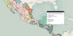
New Web App: Linguistic Map of Mexico and Central America
Our latest web app, Linguistic Map of Mexico and Central America, is now live and available to the public. Linguistic Map of Mexico and Central America, Cyrus Thomas assisted by J.R. Swanton, 1909 Geographic Coverage: Mexi...

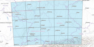
New Map Collection and Index: Southwest Germany to the Alps
The index for our new map series index, Southwest Germany to the Alps, is now available to the public in this interactive web map. The Southwest Germany to the Alps map series index is an interactive web map that displays the topographic features and municipalities of ...

Map of the Month: December 2021
Our December Map of the Month is this French map titled “New Mexico, with the Northern Part of Old, Or New Spain”. Among the oldest maps in our collection, this map was made by Rigobert Bonne and was published in 1780 as part of Guillaume-Thomas Raynal’s famous Atlas de Toutes Les Parties Connues du...

ASU News: How cartography helped the Grand Canyon become grand
View the full ASU News Article, How cartography helped the Grand Canyon become grand, written by Lauren Whitby, and published on September 28, 2021, at the following URL: https://news.asu.edu/20210928-arizona-impact-how-cartography-helped-grand-canyon-become-grand ...

ASU News: Mapping the ASU Library map collection
View the full ASU News article, Mapping the ASU LIbrary mapp collection, written by Britt Lewis, and published on August 20, 2021, at the following URL: https://news.asu.edu/20210820-mapping-asu-library-map-collection ...

Map of the Month: August 2021
Our August Map of the Month is this National Geographic map titled Europe and the Near East. It displays a comprehensive post-WWII view of Western and Eastern Europe as well as the North African Coast and part of the Middle East. Published in 1949 after the conclusion of several years of negotiat...

Map of the Month: June 2021
Our June Map of the Month is this 1844 Plan de l'embouchure du Rio Colorado dans la Mer Vermeille (English title: Plan from the Mouth of Rio Colorado in the Ruddy Sea). It is a French survey of the mouth of the Colorado River that displays information on the river’s depth, islands, and other navigat...

New Map Collection and Index: Poor’s Railroad and Utilities Maps
The index for our new digital image collection, the Poor’s Railroad and Utilities Maps collection, is available to the public here. Poor’s Railroad and Utilities Map, Midwest to Northeast Region magnified The Poor’s Railroad a...

Soft-Launch: ASU GeoData
The ASU Library Map and Geospatial Hub is happy to announce a soft-launch of the new ASU GeoData platform. The goal of ASU GeoData is to provide a data discovery and exploration platform for multiple forms of geographically-referenced data. ASU GeoData shares, primaril...