southwest history news

Map of the Month: April 2024
The political boundaries of North America have gone through many changes. As part of New Spain, Central America was known as the Captaincy General of Guatemala, or the Kingdom of Guatemala. The territory of Mexico used to contain the entire southwestern United States, and extended as far north as th...

New Web Application: 1918 National Parks and Monuments
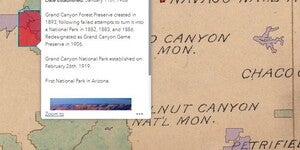
A new Web App, 1918 National Parks and Monuments, is now live on ASU Geodata. This App digitizes a map of the National Park and Monument system in its infancy and overlays it across a modern map of the United States, allowing the user to explore the NPS two years after its creation. ...

Map of the Month: March 2024
The United States National Park Service (NPS) currently administers 63 National Parks and 85 National Monuments, among the astonishing 423 total areas managed by the agency. That scope wasn’t always so large. In the years after its 1916 inception, the NPS oversaw only a small fraction of the nationa...

Map of the Month: September 2023
The Grand Canyon is one of the modern natural wonders of the world. It’s been mapped countless times over the years, and is the second most visited national park in the United States. However, the mapping history of the Grand Canyon is relatively young; the first USGS quadrangle maps of the Canyon w...

Map of the Month: August 2023
One hundred and sixty one years ago, the American Civil War was raging all across the country. During the height of this conflict, The Territory of Arizona was officially established in February of 1863. Efforts to create the Arizona Territory had been ongoing since at least 1856, with a few maps sh...

Map of the Month: April 2023
Our April Map of the Month is this 1907 map of the American Southwest titled, the ”Greatest Mineral Belt in the World”. The map depicts the breadth of gold, silver, and copper through the mineral belt as it spans over California, Nevada, and Arizona. ...

Map of the Month: September 2022
Our September Map of the Month is this mid-1800s map exploring the feasibility of constructing a trans-continental railroad route through Arizona. The full title is “Explorations and Surveys for a Rail Road Route from the Mississippi River to the Pacific Ocean, Route Near the 35th Parallel, Map No. ...

Map of the Month: July 2022
Our July Map of the Month is this 1848 “Mexico & Guatemala” map published just before the end of the Mexican-American War by S. Augustus Mitchell. It features a detailed depiction of the various international and state boundaries of Mexico and Central America at the time, many of which were alte...

Map of the Month: February 2022
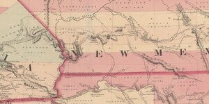
Our February Map of the Month is an early edition of this map of “Oregon, Upper California, and New Mexico” published in 1849. It depicts the western United States shortly after the 1848 Treaty of Guadalupe was signed, showing the new border and territories gained by the United States after the Mexi...