map news

Map of the Month: April 2021
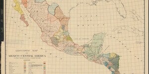
Our April Map of the Month is this 1909 Linguistic Map of Mexico and Central America by Cyrus Thomas and J.R. Swanton. It displays the geographic distribution of a variety of Mesoamerican languages and dialects throughout Mexico and Central America. ...

New Map Collection and Index: Poor’s Railroad and Utilities Maps
The index for our new digital image collection, the Poor’s Railroad and Utilities Maps collection, is available to the public here. Poor’s Railroad and Utilities Map, Midwest to Northeast Region magnified The Poor’s Railroad a...

Map of the Month – March 2021
Our March 2021 Map of the Month is this 1897 Pilot Chart of the Great Lakes by J.E. Craig and A.C. Roberts. It includes a detailed navigational map of the lakes as well as a variety of information on boating etiquette, weather signals, and other useful notes for sailing on the Great Lakes. ...

2020 Creative Cartography Art Exhibit
Order and Chaos 2020 Artworks by ASU student Natalie Mikszta Using maps as a departure point, students in the Art on Paper course, Herberger Institute, School of Art, in collaboration with the ASU Library, are excited to share a virtual exhibition of works on paper as the...

Root’s Facial War Map of the World
Root's Facial War Map of the World Author: M.A. Root Date: 1898 This map is a bit of a mystery. At first glance, it seems to be a standard map of the world. Upon closer inspection, odd cartoon faces worked into the outlines of countries and landforms start to jump out...

Mapping Grand Canyon Conference -- Website Live!
If you haven't yet heard, the Mapping Grand Canyon Conference is scheduled for Thursday, February 28 -- Friday, March 1, 2019. The dedicated conference website is now live at https://lib.asu.edu/mapping-grand-canyon-conference Mapping Grand Canyon C...

Mapping Grand Canyon Conference -- Save the Date!
Save the date for the Mapping Grand Canyon Conference -- Thursday, February 28 -- Friday, March 1, 2019. The ASU Library Map and Geospatial Hub is pleased to host a symposium (mini-conference) dedicated to exploring, examining, and celebrating the cartographic history of the greater Grand Canyon reg...

The Wilson Family's 1928 Trans-Continental Trip
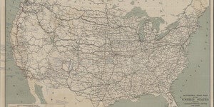
Automobile Road Map of the United States Showing Transcontinental Routes and Other Main Highways Automobile Road Map of the United States Showing Transcontinental Routes and Other Main Highways Automobile Club of Washington 1925 ...

Braun and Hogenberg’s Jerusalem
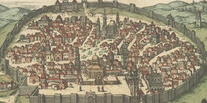
Braun and Hogenburg's Jerusalem Map Georg Braun, Frans Hogenbergfrom Civitates Orbis Terrarum c. 1600-23 In Braun and Hogenberg's Civitates Orbis Terrarum, the city of Jerusalem is surrounded by a closed wall that exists to this...