colonial news

Map of the Month: January 2025
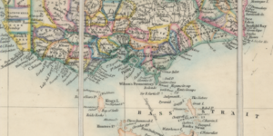
First populated almost 70,000 years ago by Indigenous Australians, Australia is a diverse and beautiful land. Large interior deserts span the majority of the continent, while Eucalyptus forests domina...

Map of the Month: January 2023
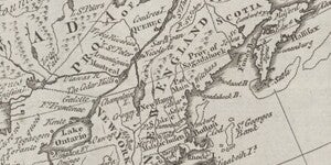
Happy New Year! Our January Map of the Month is this map titled “North America Drawn from the Latest and Best Authorities” that is believed to be from the 1780s. It was made by Thomas Kitchin, an Engl...

Map of the Month: November 2022
Our November Map of the Month is this 1919 British War Office map titled “Map of Africa to Illustrate the Progress of Surveys and Explorations”. Originally published in 1914 and updated in this editio...

Map of the Month: August 2022
Our August Map of the Month is this 1964 reproduction of a 1764 map titled “Plan de la Nouvelle Orleans”. It depicts the land that now makes up New Orleans' French Quarter as it existed over 250 years...

Map of the Month: December 2021
Our December Map of the Month is this French map titled “New Mexico, with the Northern Part of Old, Or New Spain”. Among the oldest maps in our collection, this map was made by Rigobert Bonne and was ...