Data
Geospatial datasets with explicitly defined coordinates, typically in vector or raster format.

Maps
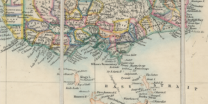
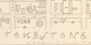
Geologic, historic, thematic and topographic maps. Globes, atlases and related books too.

Imagery
Historic and contemporary aerial photographs and satellite scenes derived through remote sensing.

Software
Licensed and open source geographic information systems (GIS) and related software tools.

Events
Workshops and special events related to all aspects of geospatial technologies and mapping.

Projects
Geospatial data management, processing, analysis, visualization, curation, storytelling and more.

News
Activities and goings-on at the Hub and with its collaborators and partners throughout the community.

About
What we do. Hours, address and contact information. Get connected. Learn more about our team.
Start your search

ASU GeoData
ASU GeoData is where to start your search for geospatial data. It's a dynamic platform to explore, retrieve, and build web maps and apps with data layers for spatial analysis and visualization. Start here to search for and explore GIS data.

3D Explorer
The 3D Explorer is where to start your search for maps. It's a digital twin of the actual Map and Geospatial Hub space and the thousands of maps and other cartographic materials contained therein. Start here to search for and explore maps.
What is the Map and Geospatial Hub?
The Hub is ASU’s library-based center for GIS, remote sensing, and the related technologies needed to transform geospatial data into powerful, value-added information. We tell stories with maps and data.
Watch our video Toward an Ecosystem of Geographic Information Discovery and Access to better understand our mission.
Select About to learn more and get connected, or Projects to go more in-depth about specific initiatives.
News and blog
More news
Map of the Month: March 2025
Map of the Month: February 2025

Historic Grand Canyon atlas finds new home