web map news
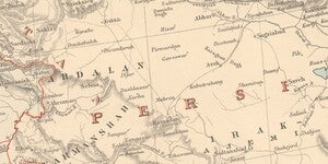
Map of the Month: May 2024
This month, we’re going to travel to the birthplace of civilization: Mesopotamia. The earliest known human settlements are found in the valleys of the Euphrates and Tigris Rivers, and they have had co...
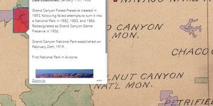
New Web Application: 1918 National Parks and Monuments
A new Web App, 1918 National Parks and Monuments, is now live on ASU Geodata. This App digitizes a map of the National Park and Monument system in its infancy and overlays it across a modern map of th...

Map of the Month: March 2024
The United States National Park Service (NPS) currently administers 63 National Parks and 85 National Monuments, among the astonishing 423 total areas managed by the agency. That scope wasn’t always s...
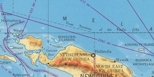
New Web Index: 1959 World Less Polar Regions
A new web map, 1959 World Less Polar Regions, is now live on ASU GeoData. The web map indexes a newly digitized series of maps produced by the Army Map Service in 1959. The maps depict the world at th...
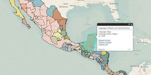
New Web App: Linguistic Map of Mexico and Central America
Our latest web app, Linguistic Map of Mexico and Central America, is now live and available to the public. ...
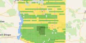
USGS Aerial Orthophoto Web Map Index
If you’re looking for aerial photographs of Arizona from the 1970’s, the USGS Orthophotos are a good place to start. The scale for these black and white photos is 1:24,000 and they line up with the US...