Map and Geospatial Hub news

Mapping Grand Canyon Conference -- Website Live!
If you haven't yet heard, the Mapping Grand Canyon Conference is scheduled for Thursday, February 28 -- Friday, March 1, 2019. The dedicated conference website is now live at https://lib.asu.edu/mapping-grand-canyon-conference Mapping Grand Canyon C...
Fall 2018 Event Schedule -- Map and Geospatial Hub
The ASU Library Map and Geospatial Hub is excited to announce the Fall 2018 schedule of events and workshops. This semester we’re offering a range of workshops, a demo of Google Earth VR, a new Creative Cartography exhibit with an opening reception, and our annual GIS Da...
USDA Aerial Photo Index Web Map
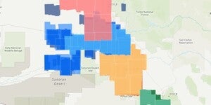
Update 2021/03/25: this web mapping application has been updated and the blog was updated to reflect the changes. To better aid and streamline access to ASU Library’s collections of aerial photography, the Map and Geospatial Hub is actively creating web map indices. These interactive web maps show ...

Mapping Grand Canyon Conference -- Save the Date!
Save the date for the Mapping Grand Canyon Conference -- Thursday, February 28 -- Friday, March 1, 2019. The ASU Library Map and Geospatial Hub is pleased to host a symposium (mini-conference) dedicated to exploring, examining, and celebrating the cartographic history of the greater Grand Canyon reg...

Summer Job at the Hub: GIS Research Aid
ASU Library seeks a talented, organized, and enthusiastic GIS Research Aide (Student Worker III) to join the Map and Geospatial Hub for a short-term, project-based assignment. This is a temporary, part-time opportunity to work on a mapping and GIS research project related to the greater Grand Canyon...
The Wilson Family's 1928 Trans-Continental Trip
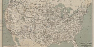
Automobile Road Map of the United States Showing Transcontinental Routes and Other Main Highways Automobile Road Map of the United States Showing Transcontinental Routes and Other Main Highways Automobile Club of Washington 1925 ...
Braun and Hogenberg’s Jerusalem
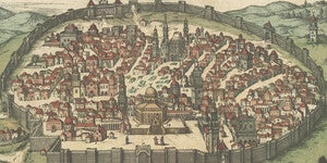
Braun and Hogenburg's Jerusalem Map Georg Braun, Frans Hogenbergfrom Civitates Orbis Terrarum c. 1600-23 In Braun and Hogenberg's Civitates Orbis Terrarum, the city of Jerusalem is surrounded by a closed wall that exists to this...
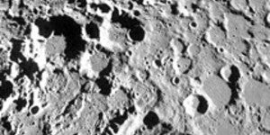
NEW Workshop: Planetary GIS and Image Processing
UPDATE (04/10/2018): This workshop has been cancelled due to unforeseen circumstances. This particular workshop session, on Planetary GIS and Image Processing, will be re-offered in a future semester. We apologize for any inconvenience. The ASU Library Map and Geospatia...

GITA Webinar: Women in Geospatial (March 22, 2018)
The Geospatial Information & Technology Association (GITA) will be hosting a webinar this Thursday, March 22 on the topic of "Women in Geospatial". Full details for this online event can be found at the following link and copied below: Webinar: Women in Geospatial. ...