aerial photography news

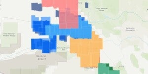
USGS Aerial Orthophoto Web Map Index
If you’re looking for aerial photographs of Arizona from the 1970’s, the USGS Orthophotos are a good place to start. The scale for these black and white photos is 1:24,000 and they line up with the US...

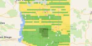
USDA Aerial Photo Index Web Map
Update 2021/03/25: this web mapping application has been updated and the blog was updated to reflect the changes. To better aid and streamline access to ASU Library’s collections of aerial photograph...